Research

Designing for Resiliency: Newport

Musings on strategies for coastal climate change.


Rhode Island is the second most densely populated state behind New Jersey, with the second highest coastline-to-land area ratio. Most of its population is located along the coast of Narragansett Bay. Union, unsurprisingly, has worked on projects in our home state faced with rising sea levels. Through our work we’ve seen and developed multiple strategies, each one being what fundamentally worked for the community and its economic drivers.

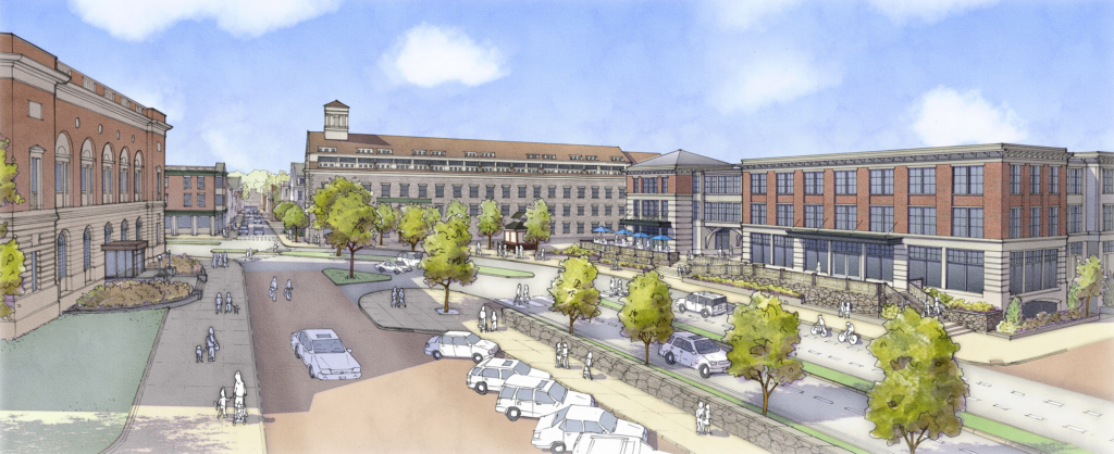
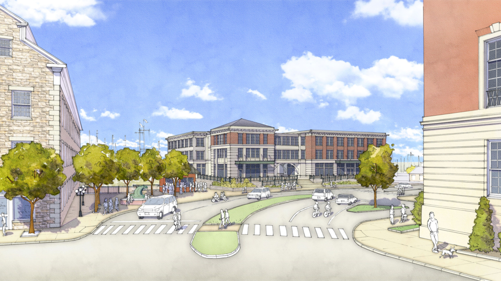
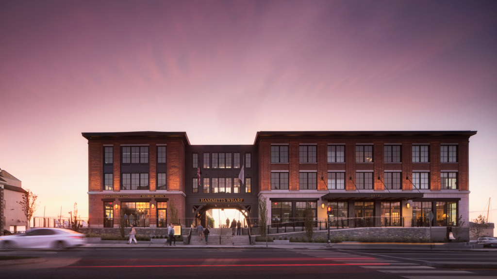
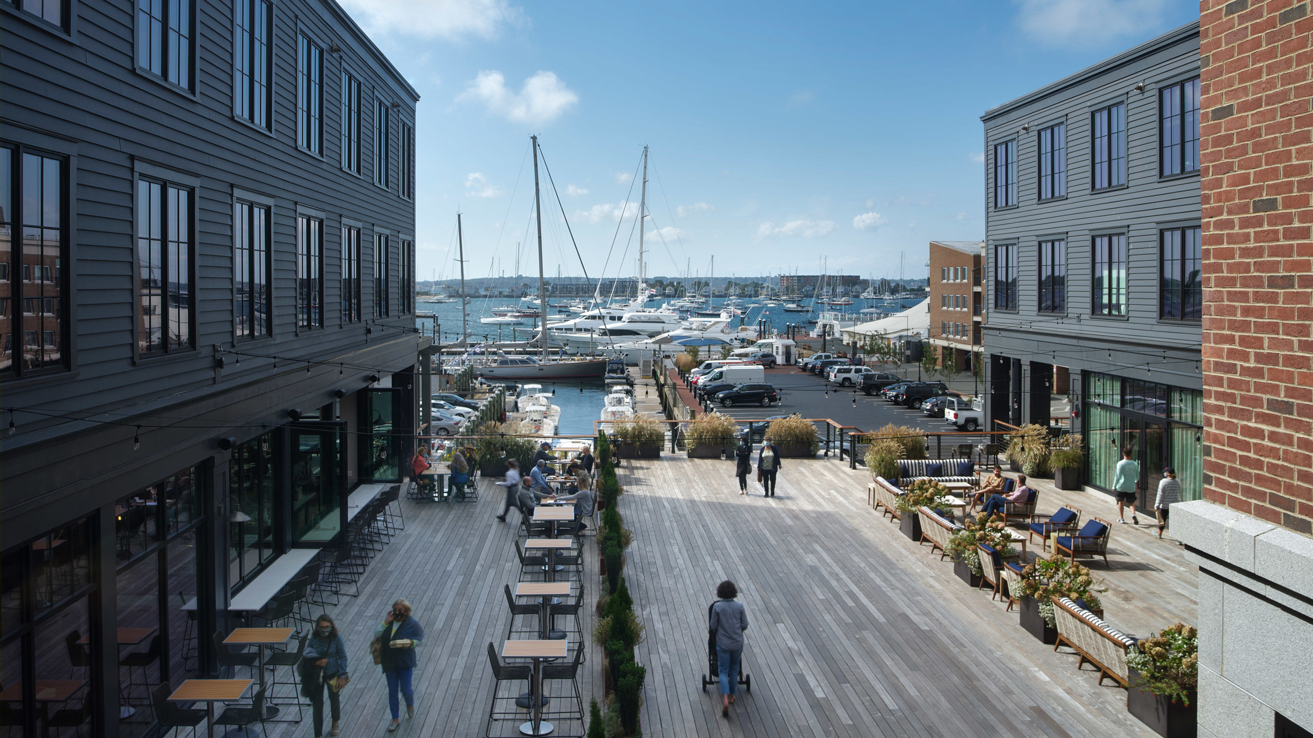
Newport’s waterfront has consistently remained an economic driver for the city, whether as a conduit for exporting goods in the 19th century, ongoing U.S. Naval ties, or tourist attractions as of late. Throughout its history, one thing has remained constant: Newport, “the City by the Sea,” is inexorably bound to the water–for better or worse. Newport’s rich past has been well-preserved through its architecture, helping to fuel the tourism economy; but Newport’s thriving waterfront is increasingly under existential threat due to flooding from ever more frequent storm events and rising tides.

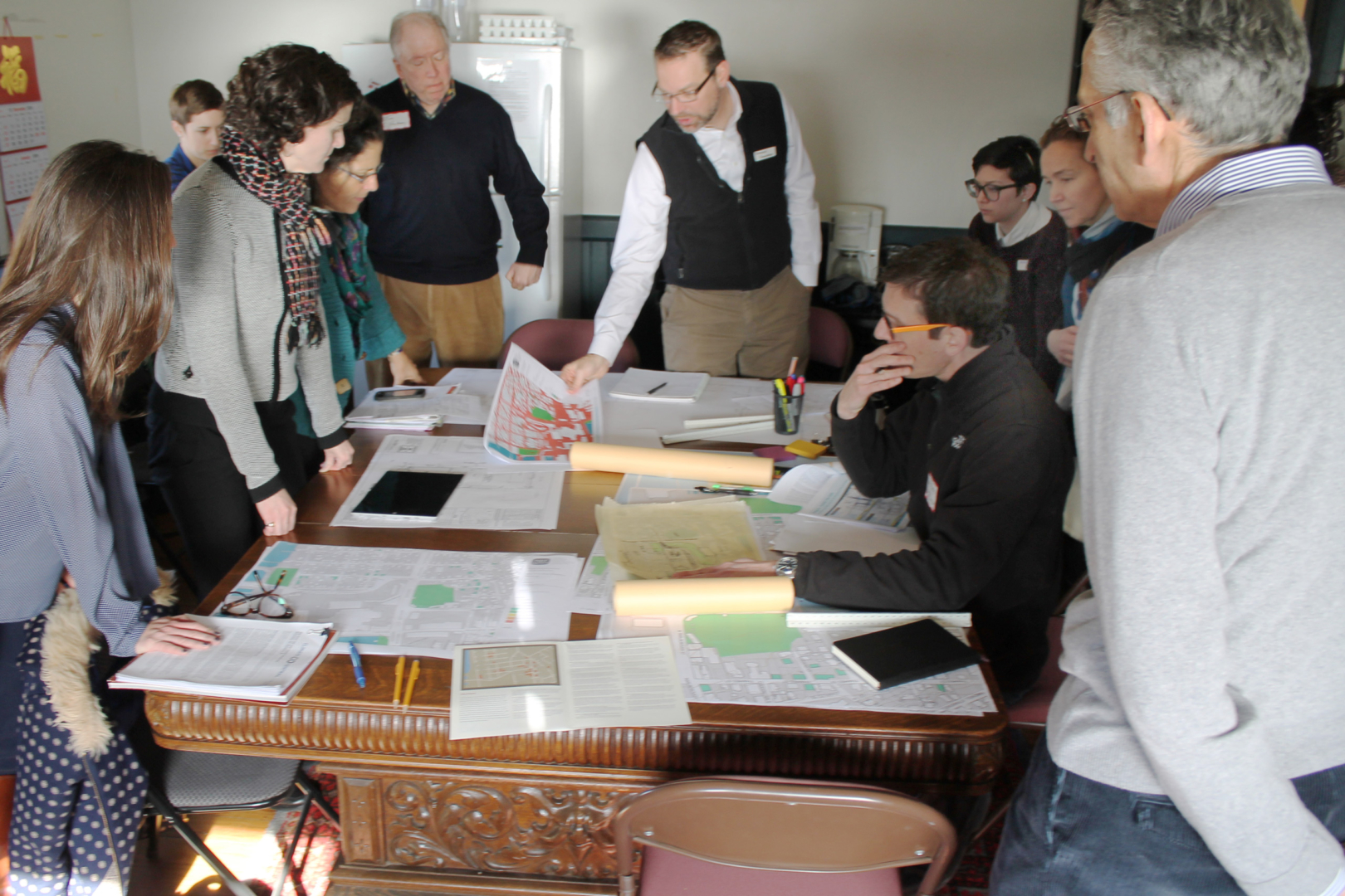
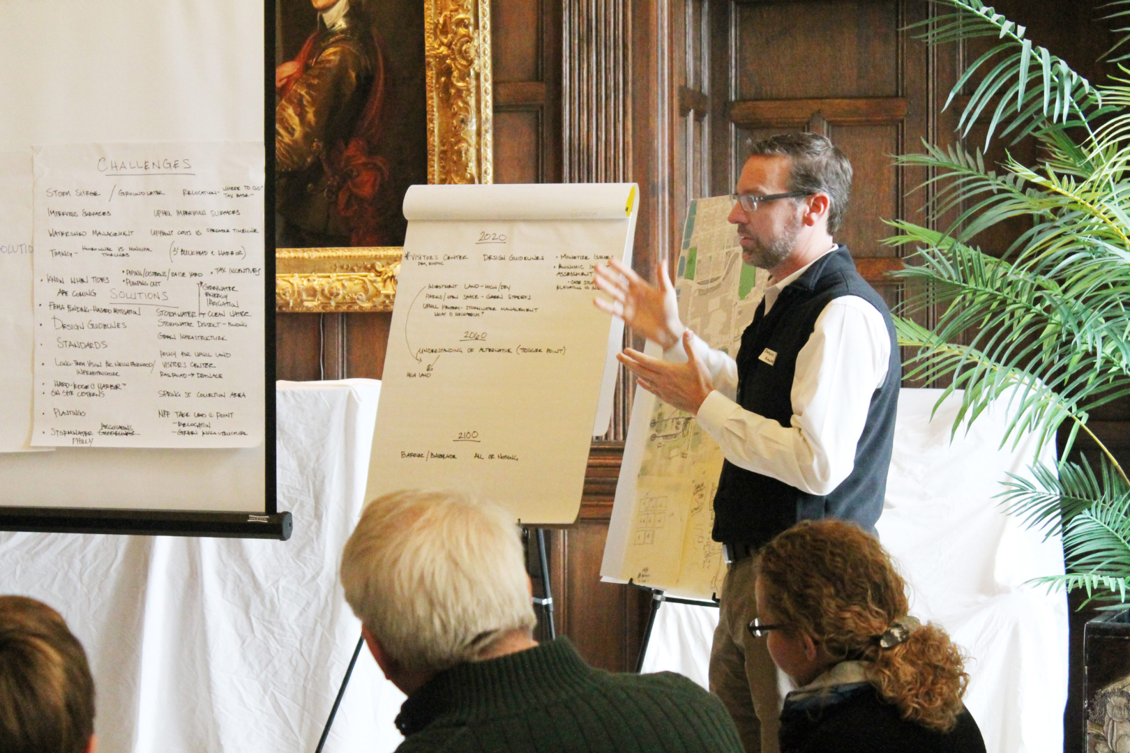
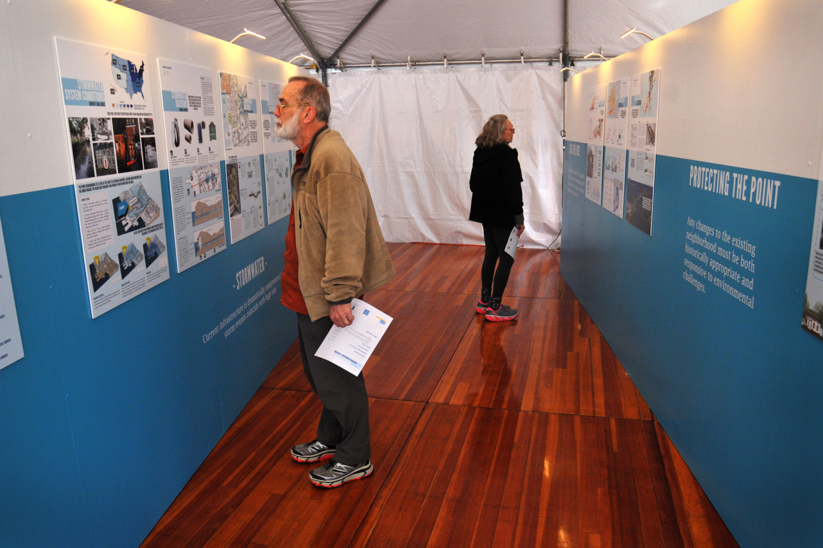
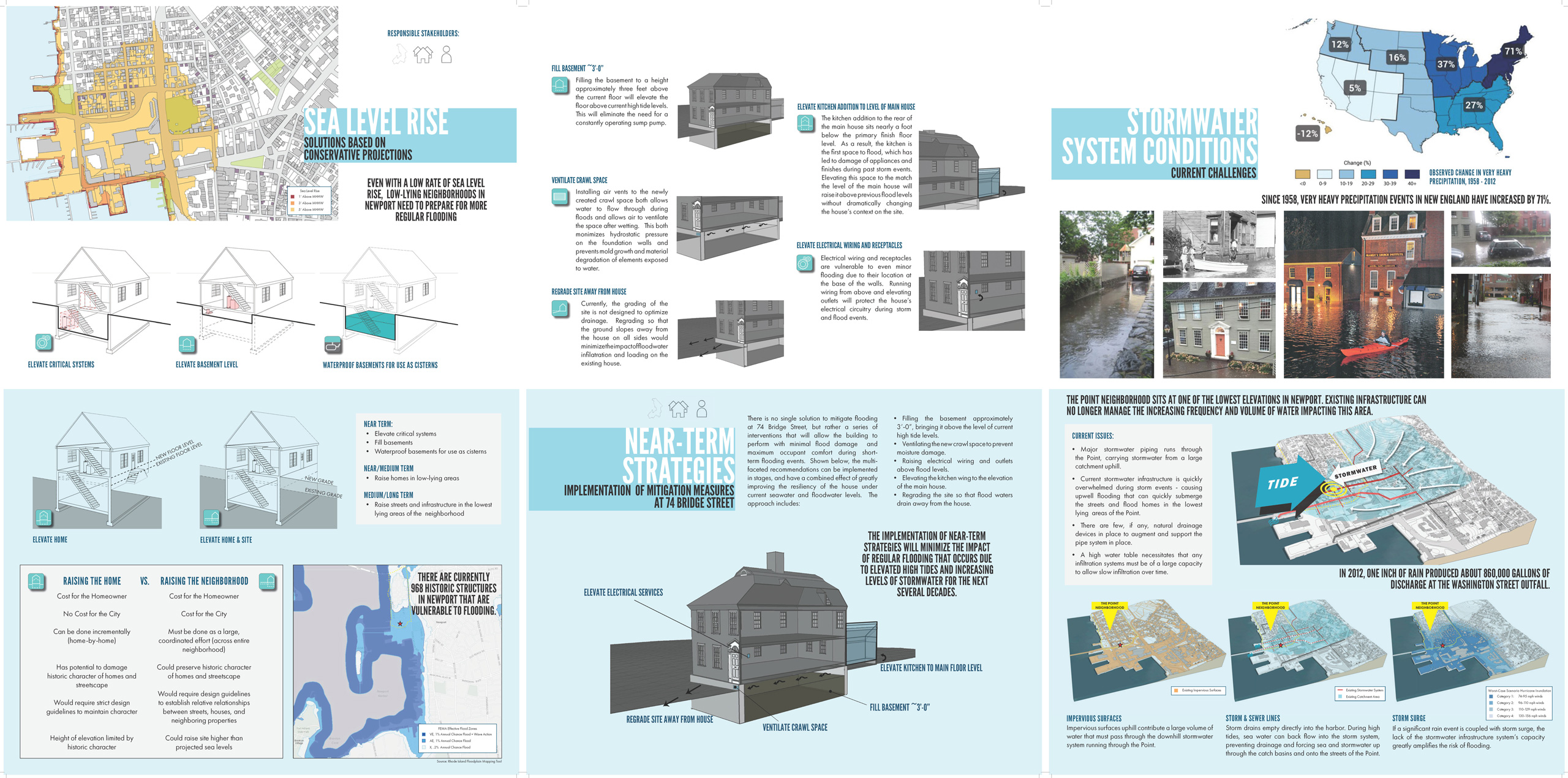
In the fall of 2015, the Newport Restoration Foundation engaged a collaborative team of architects, engineers, and preservationists to undertake a case study of a recently acquired historic home in Newport’s Point neighborhood with the explicit goal of exploring the impacts of sea level rise on our historic waterfront resources. Union led the team in an exploratory two-day charrette attended by engineers, planners, landscape architects, and neighborhood residents. The outcome of the charrette focused largely on climate change impacts from rising sea levels and stormwater inundation from severe precipitation events–challenges that are affecting every part of the Ocean State, not just Newport.

Team charrette

Because the effects of sea level rise and flooding are not unique to a specific home in a waterfront neighborhood, the study approaches the issues at the scale of the neighborhood and provides recommendations not just for homeowners, but also for regulatory agencies at the city and state levels.

The research and recommendations explored in the charrette were augmented by additional findings in a local exhibit and national conference in April 2016. The study was honored with a 2016 Charter Award from the CNU and a 2016 APA RI Award for Outstanding Neighborhood Planning.

Residents viewing 26-panel exhibit

The critical outcomes of Keeping History Above Water study:

  • Retreat is not an option. Identified the need for comprehensive design guidelines and form-based zoning reform to guide how incremental adaptation can take place in Newport – placing community character and pedestrian engagement at the center.
  • Zoning legacies need reform. Local zoning would need to be changed in the waterfront district to address the height constraints imposed by sea level rise and flood projections.
  • Adaptation must start now. Local planning and zoning could no longer grant blanket variances to state flood regulations. The community must start implementing projects that lead the way…
Presentation boards

The next year, 2017: enter Hammetts Wharf. This was the first waterfront infill project in Newport that responded to these challenges head-on, and hopefully set the tone for what is possible. It was an opportunity to provide a best practice example of resilient construction in a historic context, where retreat is not an option.

The site is located at the critical nexus of three important thoroughfares in Newport. To the north: Bowen and Bannister’s Wharf. To the south: Thames Street. There was a congested and lost connection between two important and heavily trafficked historic areas and the site was a missing tooth along the historic, urban waterfront.

The challenge for Hammetts Wharf:

  • Be the balancing act. Develop an infill project that would respect the need for adaptation and flood projections while creating a much-needed strengthening of the pedestrian experience at a critical node in Newport’s waterfront.
  • Responsible waterfront connection. Provide a meaningful way for the community and public to engage the waterfront – a public space and connection through the property, not around it.
  • Respect the City’s invaluable history. Do so with architecture (materials, form, and scale) that responded to the context and history of the site.

With recent waterfront projects in Newport, the challenge was clearly revealed for us. How to make meaningful connections to the pedestrian realm while planning for sea level rise?

View of Hammetts Hotel from Memorial Boulevard

To create space for the community to engage with the waterfront in a meaningful and respectful way, the hotel is pushed back from the sidewalk. This move provides room for a gracious transition via stairs, ramps, and planting beds up to the required flood elevation of the first floor. This trade-off, of less leasable space in favor of public space, is not one all developers would accept. But meaningful pedestrian realm connections are only possible when the entry is inviting and accessible—especially when the entry is elevated above the floodplain.

Image by Matt Carbone

Hammetts Wharf represents the ongoing preservation of a historic community through intervention. It provides an example of how new buildings can respect their context, provide meaningful contributions to the civic realm, and respond to the pressures of rising sea levels.

Looking down at the rear deck
Image by Matt Carbone